Precision LiDAR Surveying
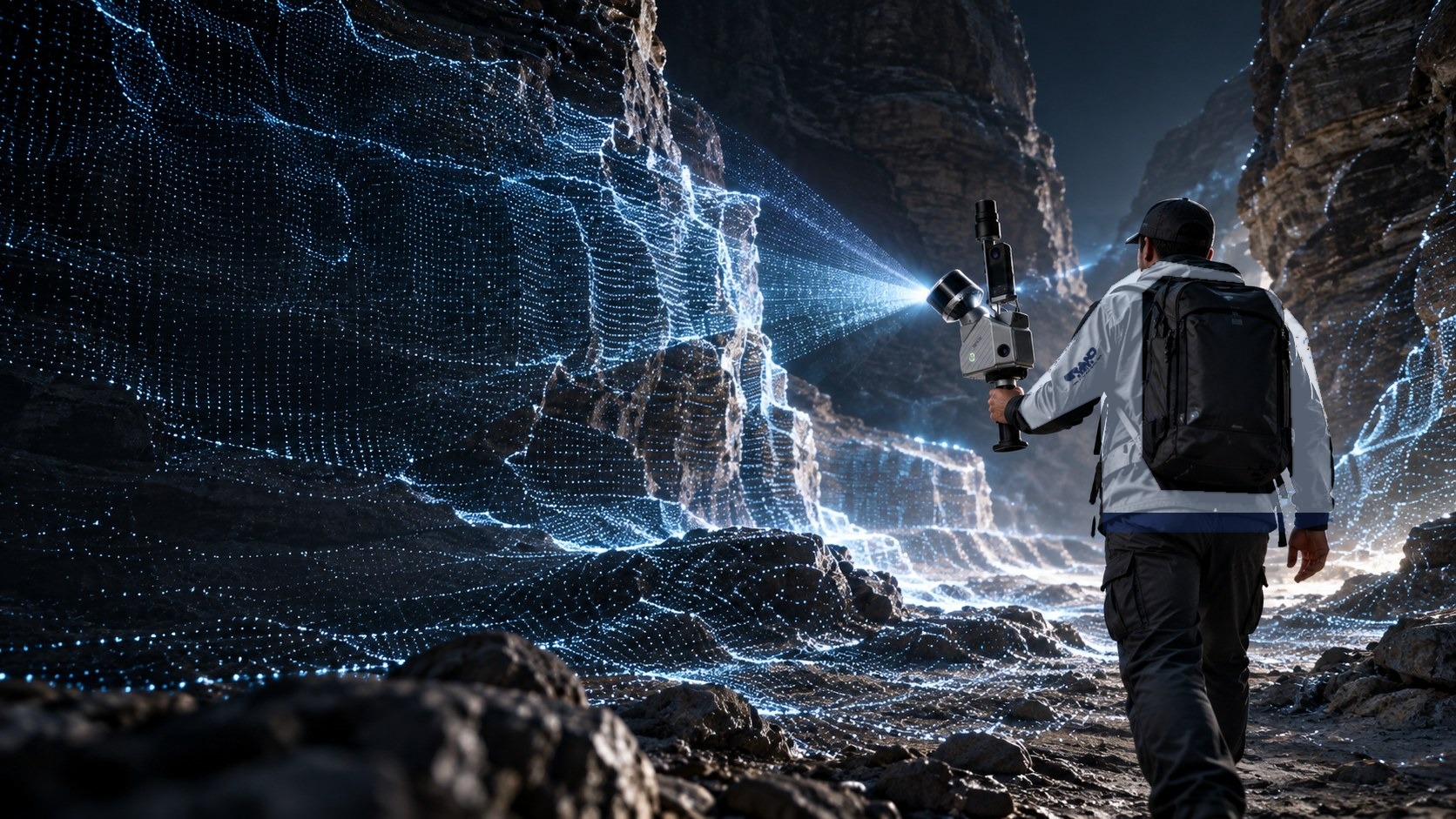
In partnership with Nexora, Grand Designs International provides fast, millimetre-accurate LiDAR and 3D laser-scanning surveys. We capture buildings, sites and structures as detailed point clouds, giving architects, engineers and developers precise data from day one.
What we deliver
- Measured Building Surveys: accurate floor plans, elevations and sections in CAD.
- Point Cloud & 3D Models: registered point clouds and Scan-to-BIM models.
- Topographical & Site Surveys: levels, boundaries and features for planning and design.
- Structural & Condition Surveys: record existing structures before alterations or extensions.
- AI-assisted processing: faster turnaround using the latest AI tools and survey equipment.
Why LiDAR?
LiDAR captures millions of measured points in minutes, so there is less time on site, fewer return visits and fewer design errors later in the project.